
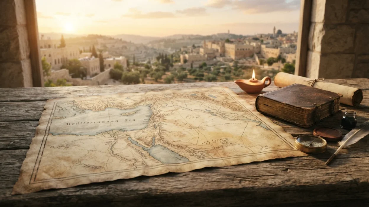
The Bible maps meaning goes beyond simply showing locations mentioned in Scripture. Bible maps help readers understand where important events happened, how biblical people traveled, and how geography influenced the stories recorded in the Old and New Testaments. From the land of Canaan to the journeys of the Israelites and the missionary travels of Paul, maps provide valuable context that can make the biblical narrative easier to understand.
Exploring Bible maps meaning also helps connect Scripture with real places, regions, mountains, rivers, cities, and ancient empires. Geography often influenced battles, migrations, trade, ministry, and cultural interaction. By understanding where events occurred, readers can better appreciate the historical setting of the Bible. Although maps are not sacred objects and do not replace Scripture, they are useful tools for studying the world in which biblical events unfolded.
Quick Answer: What Do Bible Maps Mean?
Bible maps meaning refers to maps designed to show the geographical locations, regions, journeys, kingdoms, and historical settings connected with events in the Bible. They help readers visualize where biblical stories happened and understand how geography influenced people, travel, culture, and major events throughout Scripture.
What Are Bible Maps?
Bible maps are visual representations of places connected with biblical history and literature.
They may show ancient cities, nations, rivers, mountains, deserts, trade routes, and important travel journeys.
Some maps focus on a particular period, such as the time of Abraham or the kingdoms of Israel and Judah.
Others illustrate events such as the Exodus or Paul’s missionary journeys.
The main purpose of Bible maps is to provide geographical context.
The Bible maps meaning becomes clearer when readers understand that Scripture was written in real historical and geographical settings.
| Map Feature | Purpose |
|---|---|
| Cities | Show important biblical locations |
| Rivers | Explain natural boundaries and travel |
| Mountains | Identify important historical settings |
| Trade routes | Show movement between regions |
| Kingdoms | Explain political boundaries |
| Journeys | Trace biblical travel and missions |
The Origin and History of Bible Maps
Maps have been used for centuries to understand geographical relationships.
As the Bible was copied, translated, and printed, scholars and publishers began creating maps to help readers visualize the lands mentioned in Scripture.
Early maps were often limited by the geographical knowledge available at the time.
Modern Bible maps are usually based on archaeological discoveries, ancient texts, historical geography, and ongoing research.
Because ancient borders and place names changed over time, mapmakers must carefully identify locations and distinguish between different historical periods.
This is why one Bible map may look different from another while still presenting useful information.
Why Geography Matters in the Bible
Geography plays an important role throughout Scripture.
The location of a city, mountain, river, or desert could influence travel, warfare, agriculture, trade, and communication.
For example, deserts could create difficult travel conditions.
Rivers provided water and supported agriculture.
Mountain regions could offer protection or become important places of worship and encounter.
Major trade routes connected different cultures and empires.
The Bible maps meaning includes understanding these geographical influences rather than simply memorizing place names.
When readers see where events occurred, stories can become easier to follow.
Important Regions Shown on Bible Maps
Bible maps often include several major regions.
Canaan and Israel
This region forms the setting for many Old Testament events.
Egypt
Egypt is important in the stories of Joseph, Moses, the Exodus, and other biblical events.
Mesopotamia
This area is connected with figures such as Abraham and with major ancient empires.
Assyria and Babylon
These powerful empires played major roles in the history of Israel and Judah.
Asia Minor
Many early Christian communities and Paul’s missionary journeys were connected with this region.
The Mediterranean World
The New Testament developed within a world connected by Roman roads, cities, and sea routes.
| Region | Major Biblical Connection |
|---|---|
| Canaan | Patriarchs, Israel, and the kingdoms |
| Egypt | Joseph, Moses, and the Exodus |
| Mesopotamia | Abraham and ancient civilizations |
| Assyria | Conquest of the northern kingdom |
| Babylon | Exile of Judah |
| Asia Minor | Early Christian churches |
| Mediterranean | Missionary travel and early Christianity |
Bible Maps and Old Testament Events
Old Testament maps often help readers trace the movement of important biblical figures and groups.
Maps of Abraham’s journey can show movement from Mesopotamia toward Canaan.
Exodus maps attempt to trace Israel’s journey from Egypt toward the Promised Land.
Other maps illustrate the division of the tribal territories.
Maps can also show the changing borders of the kingdoms of Israel and Judah.
However, readers should remember that some historical routes and locations are debated.
A map can provide a helpful interpretation, but not every detail is certain.
Bible Maps and the Life of Jesus
Maps of the New Testament often show locations connected with Jesus’ birth, ministry, death, and resurrection.
Commonly identified places include Bethlehem, Nazareth, Jerusalem, Galilee, and the Jordan River.
Jesus’ ministry involved traveling through towns and regions that had different cultural and political backgrounds.
Seeing these locations on a map helps readers understand the distances involved.
It can also clarify why certain journeys or travel decisions were significant.
The Bible maps meaning is especially useful when studying the movement of Jesus between Galilee, Samaria, Judea, and Jerusalem.
Bible Maps and Paul’s Missionary Journeys
Paul’s missionary journeys are among the most commonly illustrated subjects in Bible maps.
The Book of Acts describes Paul’s travels through parts of Asia Minor, Greece, and the wider Mediterranean world.
Maps help readers trace his movement between cities and understand the geographical scope of early Christianity.
Sea travel, Roman roads, and major urban centers all influenced the spread of the Christian message.
Paul’s journeys demonstrate that early Christianity developed within a connected network of regions and cultures.
A map can make the scale of these journeys easier to appreciate.
The Spiritual Meaning of Bible Maps
The spiritual meaning of Bible maps does not come from the maps themselves as sacred objects.
Instead, their symbolic value comes from what they can teach readers about the biblical journey.
Journey
Maps can symbolize a journey of faith, growth, and obedience.
Direction
Biblical geography reminds readers that people often needed guidance through unfamiliar places.
Promise
Maps of the Promised Land can represent God’s promises and faithfulness.
Mission
Travel maps can symbolize the spread of faith and the willingness to go beyond familiar places.
Perspective
Seeing the larger geographical picture can remind readers that individual stories are part of a greater narrative.
| Symbolic Theme | Spiritual Reflection |
|---|---|
| Journey | Growth and faith |
| Road | Direction and purpose |
| Promised Land | Hope and God’s promises |
| Wilderness | Testing and dependence |
| Sea | Challenge and uncertainty |
| City | Community and mission |
These interpretations are symbolic reflections rather than direct biblical definitions.
Bible Maps as Tools for Bible Study
Bible maps can make Bible study more engaging.
When reading about a place, locating it on a map can provide immediate context.
Readers can compare distances between cities or follow the direction of a journey.
Maps can also show which kingdoms existed during a particular period.
This information helps prevent events from different centuries from being placed together incorrectly.
The Bible maps meaning is therefore closely connected with understanding context.
A map does not explain every theological message in a passage, but it can clarify the physical setting in which the story takes place.
Different Types of Bible Maps
There are several common categories of Bible maps.
Historical Maps
These show political boundaries, kingdoms, and empires during specific periods.
Journey Maps
These trace the travels of people such as Abraham, Moses, Jesus, or Paul.
Regional Maps
These focus on specific areas such as Jerusalem, Galilee, or the Holy Land.
Archaeological Maps
These identify ancient sites connected with excavations and historical research.
Thematic Maps
These focus on a particular event, theme, battle, or historical period.
Each type serves a different purpose.
Using the correct map for the correct biblical period is important.
Common Misconceptions About Bible Maps
Misconception 1: Every Bible map shows exact locations
Some ancient sites have uncertain or debated locations.
Misconception 2: Modern borders match biblical borders
Modern countries and political boundaries are very different from ancient kingdoms and empires.
Misconception 3: All biblical events can be mapped with complete certainty
Some routes, dates, and locations remain uncertain.
Misconception 4: Bible maps are part of the original biblical text
Most maps found in printed Bibles were added later as study tools.
Misconception 5: Maps provide spiritual meaning by themselves
Maps are helpful educational tools, but their value comes from helping readers understand Scripture and its historical setting.
Why Do People Search for Bible Maps Meaning?
People search Bible maps meaning because they want to understand what Bible maps are and why they are included in study Bibles.
Some readers want help locating biblical cities and regions.
Others are studying a particular journey or event.
Teachers, students, and Bible study groups may use maps to make complex historical information easier to understand.
Maps are especially useful for visual learners.
They can turn unfamiliar place names into a connected picture.
For many readers, this makes the Bible feel more understandable and historically grounded.
Cultural and Modern Use of Bible Maps
Modern technology has changed the way Bible maps are used.
Digital maps can allow readers to zoom into ancient regions, compare historical periods, and follow journeys step by step.
Bible study software and educational resources often combine maps with timelines, photographs, and historical information.
Printed study Bibles also continue to include maps at the beginning or end of the book.
The Bible maps meaning remains relevant because visual geography helps modern readers connect ancient events with real locations.
Maps can support historical study without replacing careful reading of the biblical text.
Bible Maps Compared With Modern Maps
| Bible Maps | Modern Maps |
|---|---|
| Focus on ancient locations | Focus on current geography |
| Show historical kingdoms | Show modern nations and borders |
| May include biblical journeys | Often show roads and current infrastructure |
| Use ancient place names | Use modern place names |
| Designed for historical context | Designed for navigation and current information |
This comparison explains why a Bible map may look very different from a modern map of the same region.
How to Use Bible Maps Effectively
When using a Bible map, first identify the historical period.
A map of Abraham’s world should not be used to study Paul’s journeys.
Next, locate major landmarks such as seas, rivers, mountains, and cities.
Then follow the movement described in the biblical passage.
Compare distances and surrounding regions.
Finally, remember that maps are study aids.
They should be used alongside Scripture, historical research, and reliable reference material.
This approach allows readers to gain context without assuming that every map contains unquestionable details.
Final Thought
The Bible maps meaning is rooted in the value of understanding where biblical events happened and how geography shaped the stories of Scripture. From Abraham’s journey to the Exodus, the ministry of Jesus, and Paul’s missionary travels, geography provides an important historical framework. Bible maps help readers visualize regions, cities, kingdoms, trade routes, and journeys that may otherwise feel distant or unfamiliar.
While maps are not part of the original biblical text and some locations remain debated, they remain valuable study tools. They can also provide meaningful spiritual reflections on journeys, direction, promise, and mission. By combining maps with careful reading, readers can better understand both the physical world and the larger story of the Bible.
FAQs
1. What do Bible maps mean?
Bible maps show the geographical locations, regions, journeys, kingdoms, and historical settings connected with events in Scripture.
2. Are Bible maps part of the original Bible?
Most maps included in modern printed Bibles are later additions designed as study tools.
3. Why are Bible maps useful?
They help readers understand where events happened, how people traveled, and how geography influenced biblical history.
4. Are all locations on Bible maps certain?
No. Some ancient sites, routes, and boundaries are debated or uncertain.
5. What are the most common Bible maps?
Common examples include maps of the Exodus, the Promised Land, the kingdoms of Israel and Judah, Jesus’ ministry, and Paul’s missionary journeys.
6. Do Bible maps have spiritual meaning?
Maps themselves are study tools, but they can symbolically encourage reflection on faith, guidance, journeys, promises, and mission.
7. How should I use Bible maps when studying Scripture?
Identify the historical period, locate key places, follow the journey or event, and use the map alongside careful reading of the biblical text.